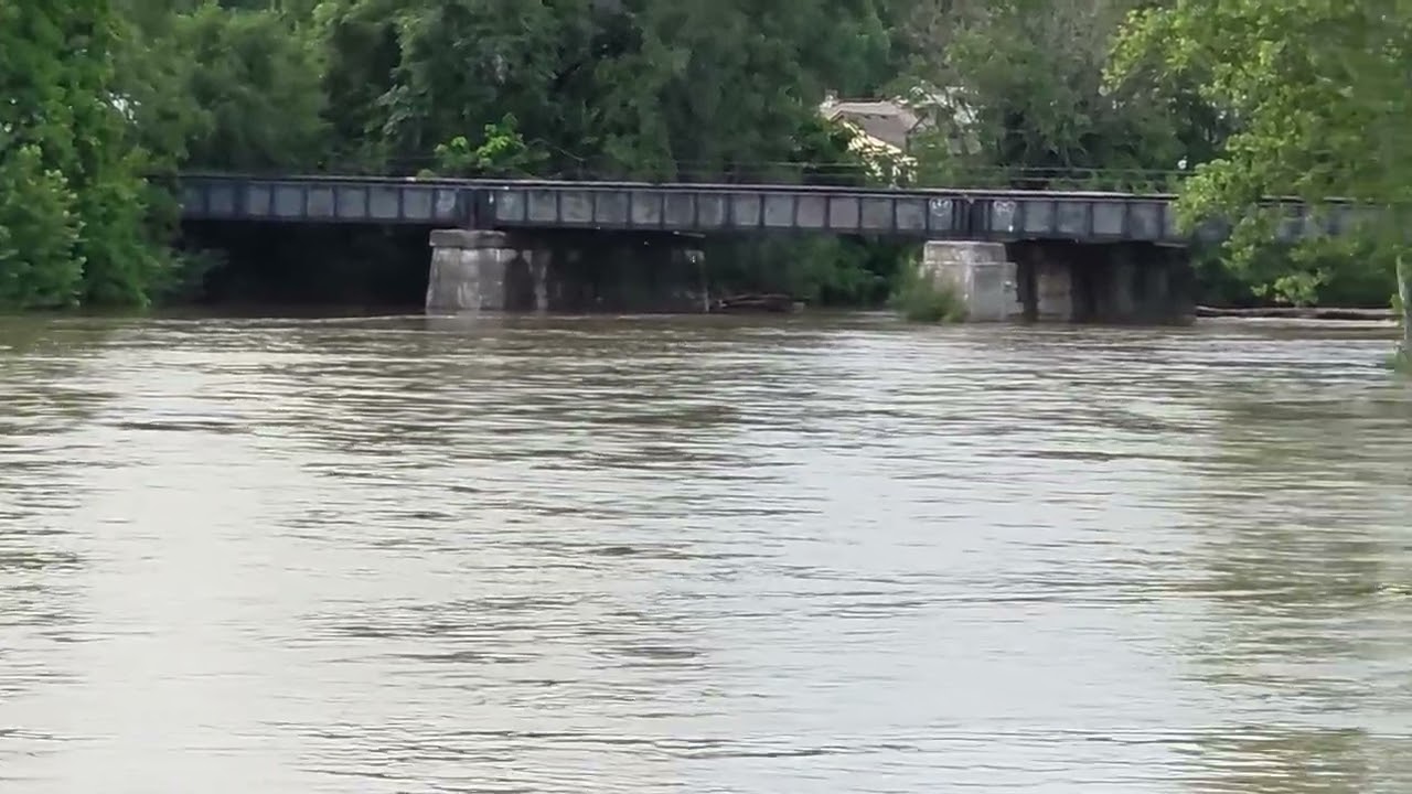
Two Rivers Become One at Logansport. Kaspar Media went to the merging point of the two rivers during the flood conditions of August 14 to observe.
Rainfall Snapshot (Last 72 Hours)
• Statewide, “nearly a foot” of rain fell on parts of Indiana between 8 a.m. Tuesday, Aug. 11 and 8 a.m. Friday, Aug. 14, with the single highest 2-day report at 11.50 inches near New Lisbon in Henry County.
• Across the north-central swath of the state — Pulaski, Cass, Fulton, Miami, Wabash, Grant, Blackford and Jay counties — the National Weather Service’s Northern Indiana office measured widespread 5-to-10-inch, multi-day storm totals, with a public gauge in Sweetser (Grant County) reporting roughly 9 inches and a resident near Winamac (Pulaski County) estimating almost 11 inches (NWS Northern Indiana).
• In Cass County itself — home to Logansport — a National Weather Service flash-flood warning on Aug. 11 cited 2 to 6 inches of rain already down with more falling at 1-2 inches per hour, enough to send Twelvemile Creek over Ind. 16 and strand a van in floodwater on County Road 500 East (iAlert flash flood warning; NWS Northern Indiana storm reports).
• Clinton County recorded roughly 2 to 2.4 inches over the Aug. 11-13 stretch at Rossville, Frankfort and Kirklin gauges, while Carroll County’s Tippecanoe River at Delphi pushed into moderate-to-major flood, forecast to crest near 15.8 feet against an 11-foot flood stage (NWS Indianapolis flood report; Weather Underground).
• The storms were tied to a derecho and prompted Gov. Mike Braun to declare a statewide disaster emergency and mobilize the Indiana National Guard on Aug. 13
—
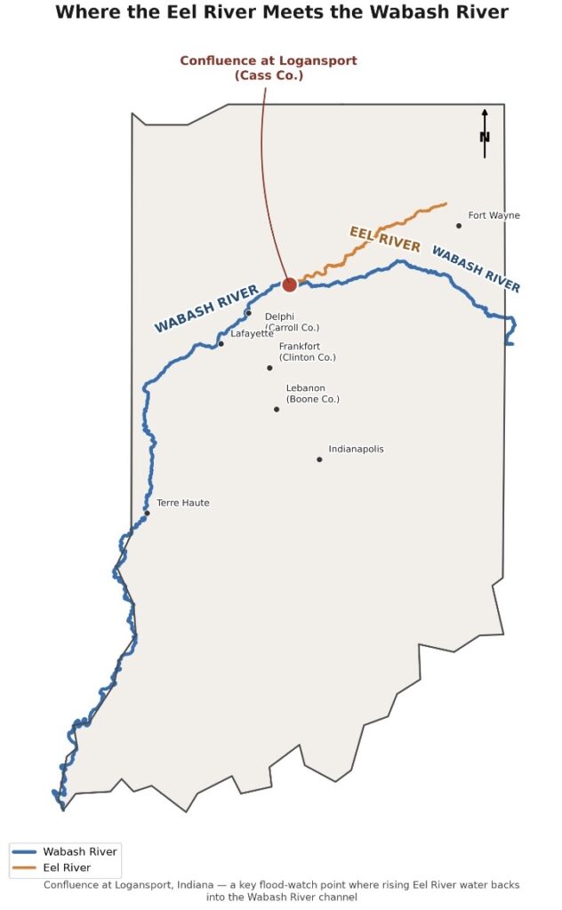
LOGANSPORT, Ind. — Stand long enough on the bank where the Eel River gives itself up to the Wabash, and you start to understand why anyone settled here at all. On an ordinary day, it’s a quiet meeting: the smaller, slower Eel sliding in from the northeast, easing into the broader, business-like current of the Wabash as it bends west toward the Illinois line. On Friday, Aug. 14, 2026, it was anything but quiet.
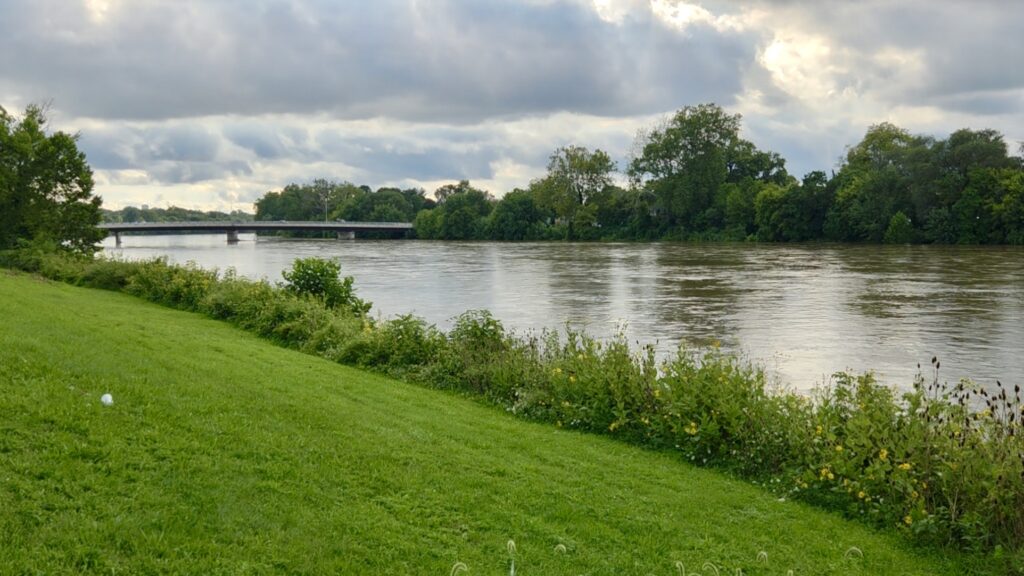
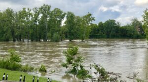
Video shot along the riverbank shows the two channels merged into one wide, brown sheet of moving water, high enough to lap at the base of a low rail trestle and to stand tree trunks in current on what is normally dry floodplain. It’s the same scene that has played out here, in one form or another, for two centuries — except this time, the water is doing it after days of rain that soaked the region from the derecho and the storms that followed.
The confluence itself is why Logansport exists. Long before there was a city, the point where the Eel meets the Wabash was contested, valuable ground. The Miami people knew the Eel as Kineepikwameekwa Siipiiwi, “river of the snake fish,” and used the rivers as travel corridors and boundary lines with the Potawatomi to the north (Wikipedia). Early settlers arrived in 1826, drawn to the same spot for the same reason people have always come to river junctions: transportation, power and trade. Alexander Chamberlain built the first cabin on the south bank of the Wabash across from the Eel’s mouth in August of that year, and the settlement that grew up around the junction took the name Logan’s Port, later Logansport, after Shawnee scout Captain John Logan (Ball State University thesis on the history of Logansport; Wikipedia). When the Wabash and Erie Canal reached town in 1837, the “port” in the name finally earned its keep.
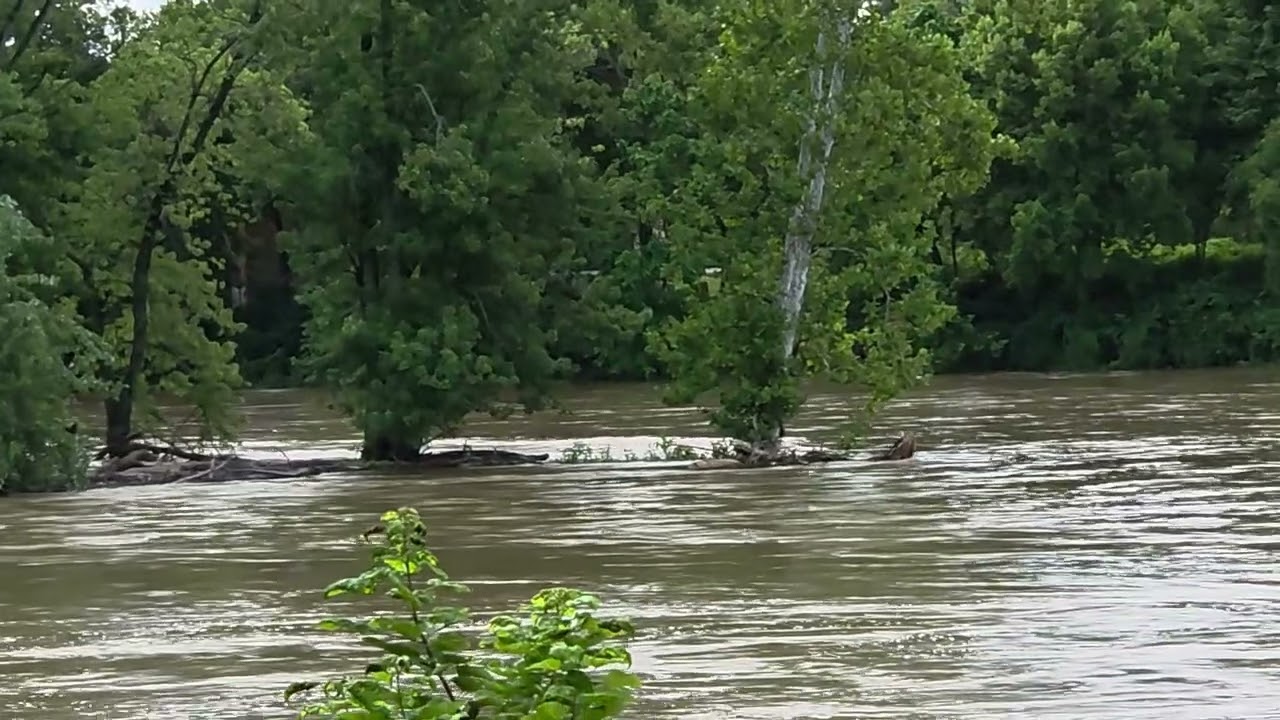
That same geography that made Logansport a trading crossroads also makes it a floodplain. The Eel drops out of Allen, Whitley, Kosciusko, Wabash, Miami and Cass counties over roughly 94 miles before it disappears into the Wabash right at the edge of downtown. Under normal conditions, the Eel needs to reach a 9-foot gauge height before it’s considered in flood, and the Wabash at Logansport needs 15 feet; both rivers were pushed hard toward those marks this week as days of rain funneled downstream from Pulaski, Fulton, Miami and Cass counties into the same channel captured in Friday’s video.
For readers in Clinton and Carroll counties, the water in this video is not a distant curiosity — it’s the same storm system, moving through the same Wabash watershed that runs past Delphi and feeds the creeks and drainage that Clinton and Carroll County farmers and homeowners have been watching all week. What happened at the Eel-Wabash confluence in Logansport on Aug. 14 is a preview, in miniature, of what heavy, repeated rain does to every river town downstream.
Fast Facts: Where the Rivers Meet
• The Eel River is about 94 miles long and flows entirely within Indiana, rising near in Allen County and ending at the Wabash in Logansport.
• Logansport was platted in 1828 and incorporated as a city in 1838, built specifically around the river junction.
• Flood stage for the Eel River near Logansport is 9 feet; for the Wabash River at Logansport it is 15 feet, with major flooding classified above 21 feet.
• The Wabash and Erie Canal crossed the Eel River on a wooden aqueduct near downtown Logansport starting in 1837 (Indiana Historical Bureau marker).
• The Aug. 11-14, 2026 storms were part of a broader Midwest derecho and flooding event that led Gov. Mike Braun to declare a statewide disaster emergency and activate the Indiana National Guard.