
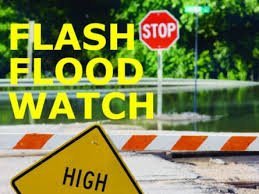
 The National Weather Service in Indianapolis has issued a Flash Flood Watch for portions of central Indiana and west central Indiana, including Clinton and Tippecanoe counties until noon Saturday.
Rounds of showers and thunderstorms will move across the area Friday night into Saturday morning. One to two inches of additional rainfall is possible. Low water crossings, roads and flood prone areas may become flooded. Never drive into or enter flood waters.
A Flash Flood Watch means that conditions may develop that lead to flash flooding. Flash flooding is a very dangerous situation. You should monitor later forecasts and be prepared to take action should Flash Flood Warnings be issued.