A community group working to connect some of Frankfort’s most-visited spots with a dedicated walking and biking trail is now looking at an unusual piece of the puzzle: relocating an abandoned, more than 100-year-old bridge from farmland northeast of Kirklin.
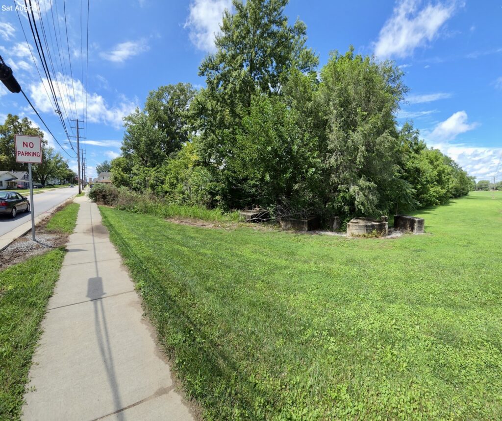
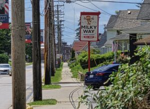
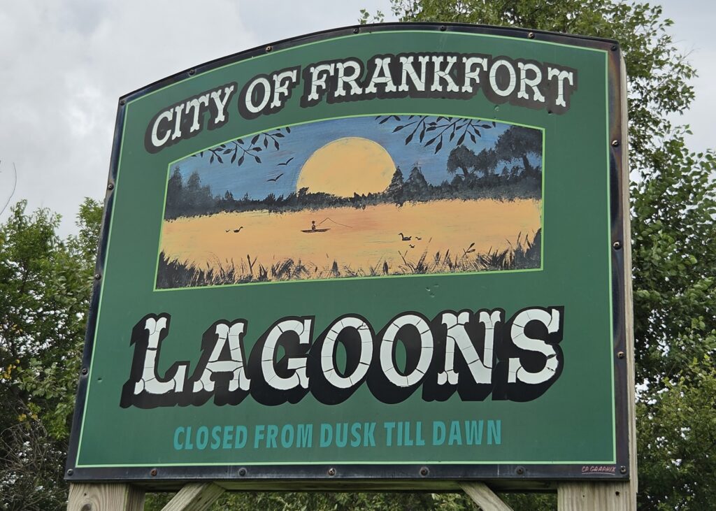
The trail, which local organizers have tentatively begun calling the Wesley Manor/Lagoon Trail, would run from the Milky Way stand area on Washington Avenue to the Frankfort Lagoons on North Union Road, giving residents a continuous walking and biking route between the two long-time community landmarks.
“Basically going from the Milky Way area to the Lagoons — both ways, bicycles and pedestrians only. The whole trail area has been approved,” said Larry Price, a community leader involved with the project.
The Route
According to Price, the trail begins where an old railroad line crosses near the city’s power plant, running through the plant property before continuing into TPA Park. From there, it heads past the animal shelter, crosses a creek, and continues onto Wesley Manor property along a back service road. The path then crosses State Road 75 before reaching the Lagoons.
Organizers had originally considered routing the trail across a wooden bridge maintained by the city’s wastewater department near the JayCee building, close to a corner of the golf course and the Izaak Walton property, but have since decided against using that structure. The new crossing point identified by the group sits roughly 40 to 50 feet north of that bridge.
The group is now focused on the possibility of using the deserted ‘Stowers Bridge’ located near Kirklin. “We have to find out how long the bridge is, what condition it’s in,” Price said.
A Second Bridge, and a Century-Old Question
Separately, the trail group is now evaluating whether the abandoned bridge about a mile northeast of Kirklin — known locally as the Stowers Bridge — could be relocated to span Prairie Creek along the new route.
The bridge sits on Stowers family farmland at the end of a lane off a county road, on a stretch that county officials have confirmed is abandoned and privately owned.
“They didn’t even know they had that bridge,” Price said of the property owners. “They thought it belonged to the county. The county says, no, that belongs to you — it’s abandoned. They don’t take care of it anymore.”
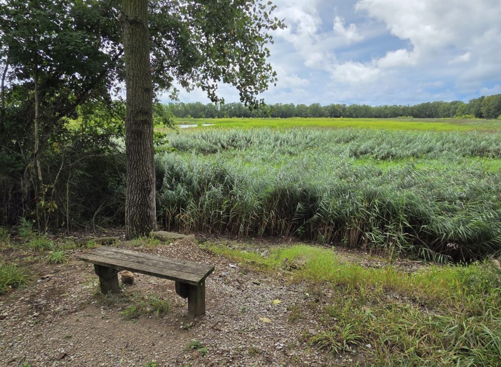
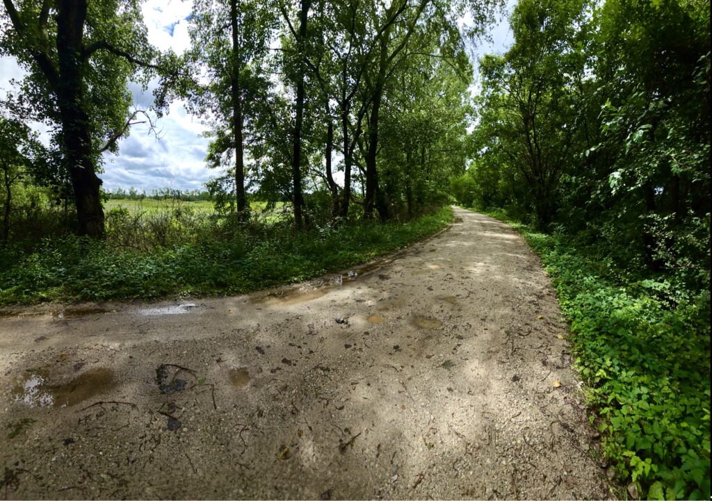
Price said the group has preliminary approval to place a relocated bridge over Prairie Creek but is still in the early stages of determining whether the move is feasible.
“It’s an old bridge, over a hundred years old. Is it something that can actually be moved? We don’t know,” Price said. “We hope it will be. We’ve already got approval to put it over Prairie Creek, but it’s in the initial stages. We need to find out how secure it is, what we’d need, and what the cost would be to move it.”
A lane leads up to the bridge from the county road, but Price said the structure is difficult to fully assess on foot.
“You can probably walk across it, but you can maybe get up to one side and not the other,” he said. “We want to look at it 360 degrees — top and bottom, five or six feet underneath — and see what the underside and the sides really look like.”
To get that look, the group is arranging a drone survey within the next couple of weeks, with local drone operator Erick Dircks.
Trail Specs and Approvals
As designed, the trail will run roughly eight feet wide — enough for two-way foot and bicycle traffic, plus occasional light maintenance vehicles such as a golf cart or small utility tractor. Trucks and standard vehicles would not be permitted. The trail will not be paved initially; it will be built on a proper base first, to allow paving in the future.
Price said the project already has broad local sign-off. “The mayor’s all for it, the Board of Works has approved it, city council has too, and the utility board is for it,” he said. “It’s going through part of their property anyway, and they’re going to help us out.”
A separate segment of the project, presented to the Clinton County Board of Commissioners in April, calls for shared-use lane markings, “share the road” signage, and a reduced 25 mph speed limit — down from 50 mph — on the county-owned stretch of Union Road between the railroad tracks and Lagoon Road. Commissioners voted 3-0 to support that portion of the project and ordered a speed study required before the lower limit can be legally enforced.
Price said the city has also been gauging public interest through a Facebook survey. “A lot of the reports coming back say people want bicycle and park amenities,” he said.
What Comes Next
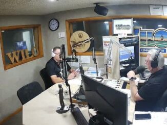
Organizers plan to hold a community meeting in mid-September at Trinity Hope Center to present the project publicly, possibly including drone footage of the Stowers Bridge if the survey is completed in time. Promotion is expected through WILO and local news coverage on Clinton County Daily News.
Longer term, Price said the group hopes to extend the trail network along an abandoned rail corridor toward Kokomo, but views the Milky Way-to-Lagoons segment, including the Stowers Bridge evaluation, as the priority first phase.
Organizers say details of the September meeting, including the exact date and time, will be announced through WILO and local news outlets closer to the event.