
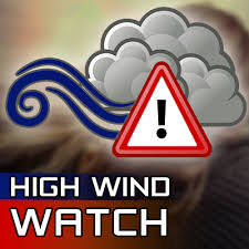
 The National Weather Service in Indianapolis has issued a High Wind Watch for portion of central, east central, north central, south central, southeast, southwest and west central Indiana from 10 a.m. Friday morning until 4 a.m. Saturday morning. Southwest winds 25 to 35 mph with gusts up to 55 mph are possible.
Damaging winds could blow down trees and power lines. Power outages are possible. Travel could be difficult, especially for high profile vehicles.
Affected areas are Bartholomew, Boone, Brown, Carroll, Clay, Clinton, Daviess, Decatur, Delaware, Fountain, Greene, Hamilton, Hancock, Hendricks, Henry, Howard, Jackson, Jennings, Johnson, Knox, Lawrence, Madison, Marion, Martin, Monroe, Montgomery, Morgan, Owen, Parke, Putnam, Randolph, Rush, Shelby, Sullivan, Tippecanoe, Tipton, Vermillion, Vigo, and Warren counties.
Everyone is urged to monitor the latest forecasts and warnings for updates on this situation. Fasten loose objects or shelter objects in a safe location prior to the onset of winds.