
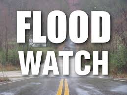
 The National Weather Service in Indianapolis has issued a Flood Watch for portions of central Indiana, east central Indiana, south central Indiana, southwest Indiana and west central Indiana, from 8 a.m. this morning until 11 a.m. Friday. Clinton County is included in this watch.
A slow moving cold front will track across the Ohio Valley through tonight…bringing several rounds of showers and thunderstorms to the region. The rain may be heavy at times and could cause flooding through early Friday. Several rounds of showers and thunderstorms with heavy rainfall at times will impact portions of central Indiana through tonight . 2 to 3 inches of rain with locally higher amounts are possible by Friday morning. The heavy rainfall will produce flooding in low lying and poor drainage areas, and along area rivers and creeks.
Besides Clinton, other affected areas include Boone, Brown, Clay, Daviess, Delaware, Greene, Hamilton, Hancock, Hendricks, Howard, Johnson, Knox, Lawrence, Madison, Marion, Martin, Montgomery, Morgan, Owen, Parke, Putnam, Shelby, Sullivan, Tipton and Vigo counties.
This includes the cities of Frankfort, Kokomo, Crawfordsville, Lebanon, Zionsville, Tipton, Fishers, Carmel, Noblesville, Anderson, Muncie, Rockville, Greencastle, Plainfield, Brownsburg, Danville, Indianapolis, Greenfield, Terre Haute, Brazil, Clay City, Spencer, Martinsville, Mooresville, Greenwood, Franklin, Shelbyville, Sullivan, Linton, Bloomfield, Bloomington, Nashville, Vincennes, Washington, Loogootee, Shoals, Bedford and Mitchell.