
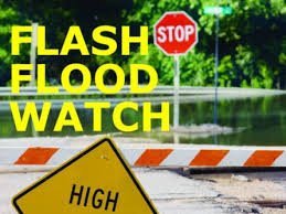
 The National Weather Service in Indianapolis has issued a Flash Flood Watch for portions of central, south central, southeast, southwest and west central Indiana from 5 p.m. until 4 a.m. Thursday.
High moisture content in combination with the potential for a narrow corridor of thunderstorms along a developing boundary may lead to prolonged heavy rainfall. Widespread totals of 1-2 inches along with isolated totals in excess of 3 inches are possible in the watch area. Go tohttp://www.weather.gov/safety/flood for more information.
Excessive runoff may result in flooding of rivers, creeks, streams and other low-lying and flood-prone locations. Flooding may occur in poor drainage and urban areas. Low-water crossing may be flooded. Extensive street flooding and flooding of creeks and rivers are possible.
Affected areas are Clinton, Bartholomew, Boone, Brown, Clay, Daviess, Decatur, Fountain, Greene, Hamilton, Hancock, Henricks, Jackson, Jennings, Johnson, Knox, Lawrence, Marion, Martin, Montgomery, Morgan, Owen, Parke, Putnam, Rush, Shelby, Sullivan, Tippecanoe, Vermillion, Vigo and Warren counties.
Individuals should monitor later forecasts and be prepared to take action should Flash Flood Warnings be issued.