
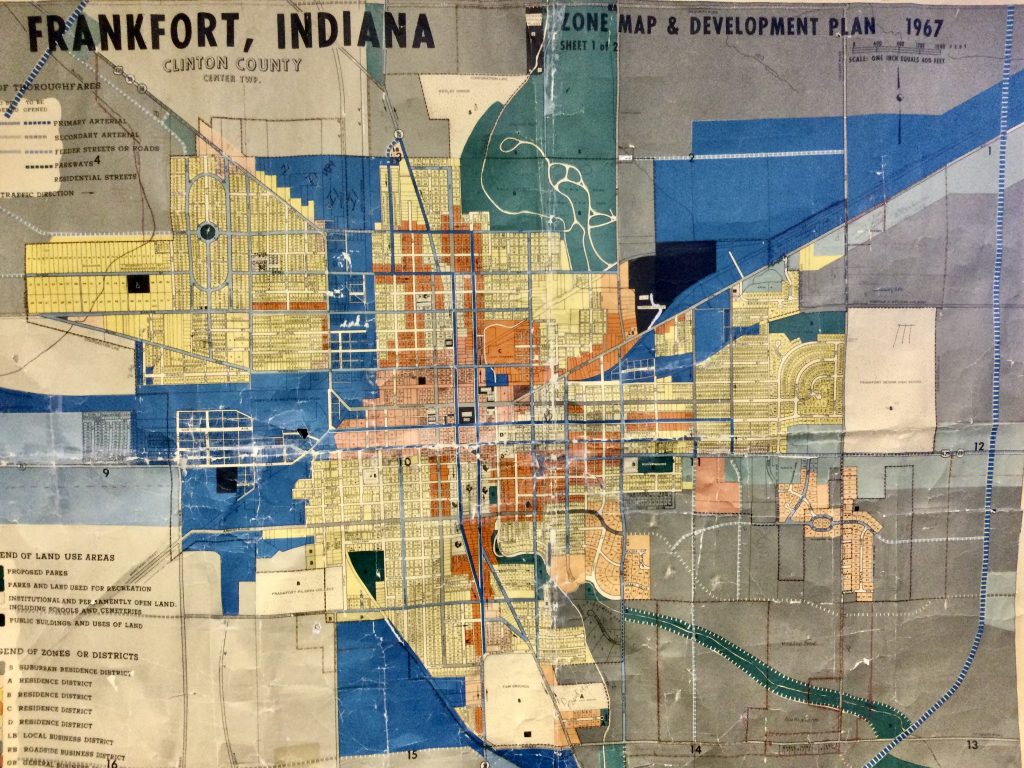
The City of Frankfort has been operating under a 1967 Zone Map and Development Plan. The newly proposed UDO or “Unified Development Ordinance” has several proposed changes in the works.
One obvious change is the reduction of space allocated to Industrial Development (BLUE) where residential housing cannot be built without a special exception. Another obvious change is the elimination of much of the multi unit dwelling area (ORANGE) now permitted in parts of the city.
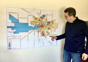
This new UDO or Unified Development Ordinance has been a work in progress for 6 or 7 years according to Don Stock, Director of Planning & Housing Initiatives. “Cleaned Up” is a phrase Stock often uses to describe much of the change in maps. The two most notable changes are reduction in Industrial areas (BLUE) where “people are not allowed to live” and the reduction in Multi Unit areas where structures can house more than one family. A careful look at the map will show many current multi-family use areas will be ‘grandfathered in” if that particular parcel is already properly recognized as a multi-family dwelling.
If citizens and land owners have questions about the proposed map and proposed uses permitted, they are encouraged to come to the Frankfort City Council Chambers in Old Stoney Monday May 8 at 7pm or call the Building Services Office at 765-654-5278. Don Stock has often said this process in intended to be transparent, public and open for review from all.
Below is the proposed Unified Development Ordinance Map to be discussed and approved at the May 8th meeting in the City Council Chambers in Old Stoney at 7:00 PM.
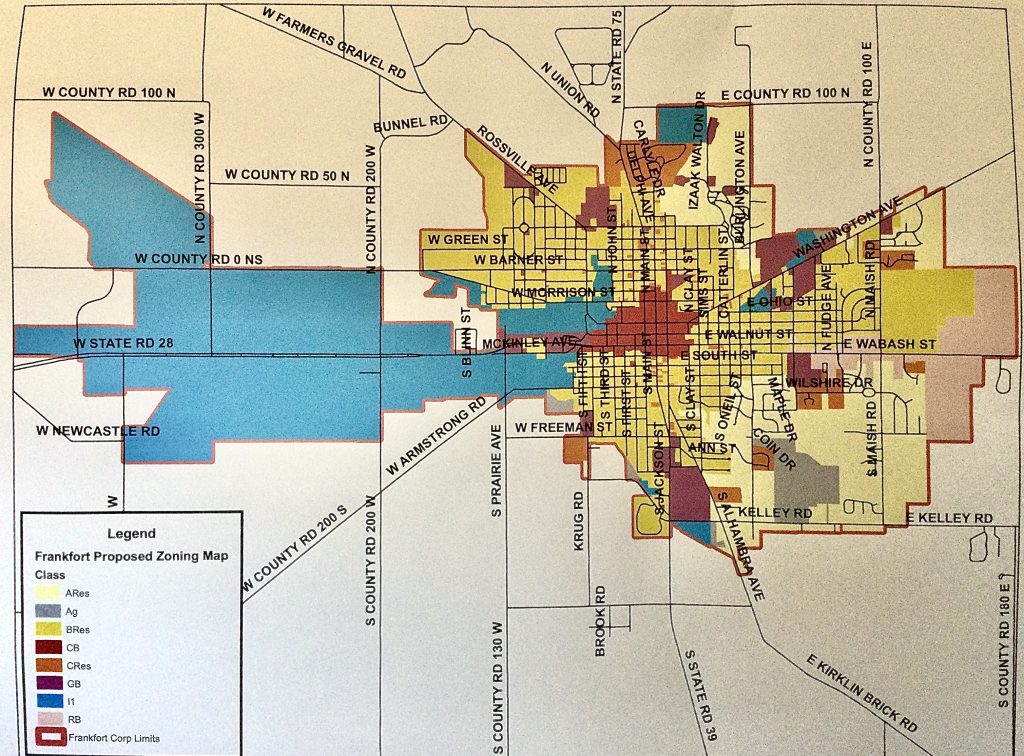
To see an excellent close-up view of this proposed change, CLICK HERE