 The Indiana Department of Environmental Management (IDEM) has issued an Air Quality Action Day (AQAD) in the Unhealthy Air Quality Index range and is forecasting high levels of fine particles (PM2.5) in the air for today and Wednesday, June 28, in the following regions:
- Central/East Central Indiana, including the cities of: Bloomington, Brookville, Columbus, Frankfort, Indianapolis, Greensburg, Kokomo, Lebanon, Martinsville, Muncie, Richmond and all other cities within the area.
- North Central Indiana, including the cities of: Elkhart, Goshen, Knox, Logansport, Plymouth, Peru, South Bend, Warsaw, Winamac and all other cities within the area.
- Northeast Indiana, including the cities of: Angola, Auburn, Decatur, Fort Wayne, Hartford, Huntington City, LaGrange, Marion, Portland, Wabash and all other cities within the area.
- Northwest Indiana, including the cities of: Crown Point, Gary, Hammond, Kentland, LaPorte, Michigan City, Portage, Rensselaer, Valparaiso and all other cities within the area.
- Southeast Indiana, including the cities of: Brownstown, Corydon, Jeffersonville, Madison, New Albany, Salem, Versailles and all other cities within the area.
- Southwest Indiana, including the cities of: Bedford, Bloomfield, Evansville, Huntingburg, Mount Vernon, Paoli, Princeton, Rockport, Tell City, Vincennes and all other cities within the area.
- Western/West Central Indiana, including the cities of: Crawfordsville, Covington, Delphi, Fowler, Greencastle, Lafayette, Newport, Monticello, Spencer, Sullivan, Terre Haute and all other cities within the area.
A state map including regions and affected counties is available at SmogWatch.IN.gov.
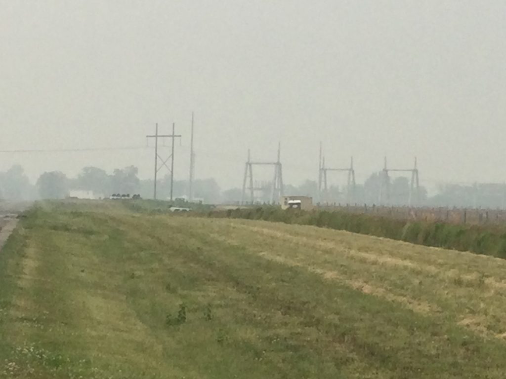
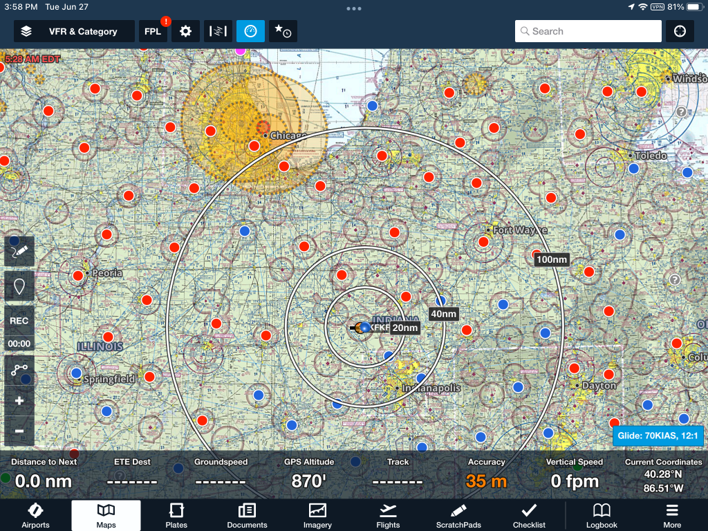
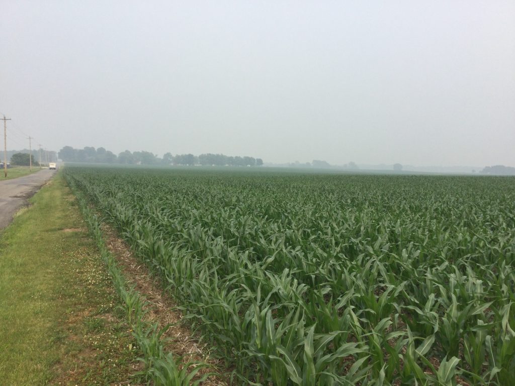
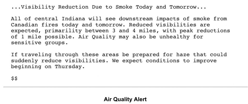
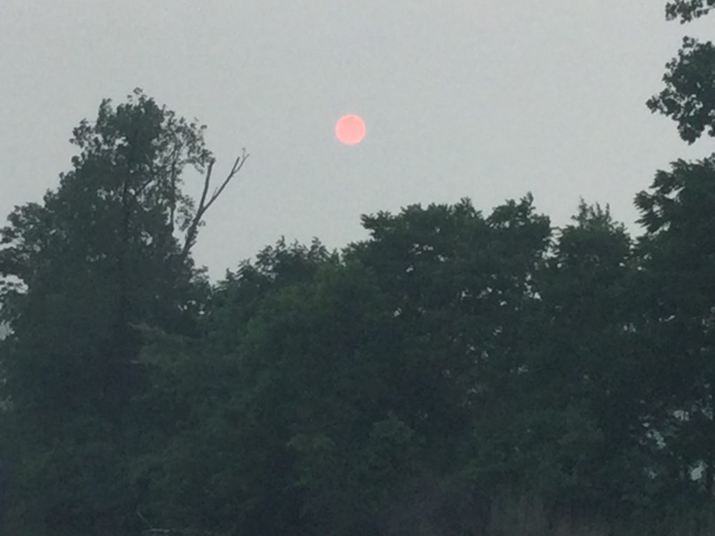
Current air monitor readings across the state are rising as the Canadian wildfire plume moves from north to south. Forecast models are all pointing toward very high levels today and Wednesday.
Note: IDEM’s AQAD forecast is based on data from ozone air quality monitors located throughout the state. IDEM encourages residents of counties within or bordering the AQAD region(s) to heed the forecast. Air quality information for all Indiana counties can be found at SmogWatch.IN.gov.
Some municipalities have additional open burning restrictions on AQADs. For more information, see idem.IN.gov/openburning/laws-and-rules.
Hoosiers are encouraged to visit smogwatch.IN.gov to view current and forecasted conditions and subscribe to email alerts.
IDEM encourages everyone to help reduce PM2.5 by making changes to daily habits. You can:
- Carpool or use public transportation.
- Avoid using the drive-through and combine errands into one trip.
- Turn off engines instead of idling for long periods of time.
- Avoid using gas-powered equipment.
- Conserve energy by turning off lights and setting the air conditioner to a higher setting;
- Use propane gas instead of charcoal when grilling outdoors;
- Reminder: Indiana’s open burning laws make it illegal to burn trash and generally prohibit open burning, visit IN.gov/openburning for more information.
PM2.5 is composed of microscopic dust, soot, and liquid that settles deep into the lungs and cannot be easily exhaled. Those people at risk are particularly vulnerable after several days of high PM2.5 exposure. Everyone should reduce or avoid exertion and heavy work outdoors during these conditions. IDEM examines weather patterns and PM2.5 readings to make daily air quality forecasts. Air Quality Action Days generally occur when weather conditions such as light winds, snow cover, higher humidity, and lower atmospheric inversions trap pollutants close to the ground. To learn more about PM2.5 or sign up for air quality alerts, visit SmogWatch.IN.gov.